Ceres Imaging combines industry-leading aerial data and expert customer support to help orchard managers increase yields, improve uniformity, and reduce costs.
Pre-season
Working new ground this year? Use aerial imagery to design an irrigation system that’s optimized for the terrain—or check existing infrastructure for damage while there’s still time to repair it.
In season
Avoid stressing trees during critical growth windows. We use thermal cameras capable of detecting temperature differences as small as 0.1 degrees Celsius between plants to help you pinpoint problems before they’re visible to the naked eye.
Pre-harvest
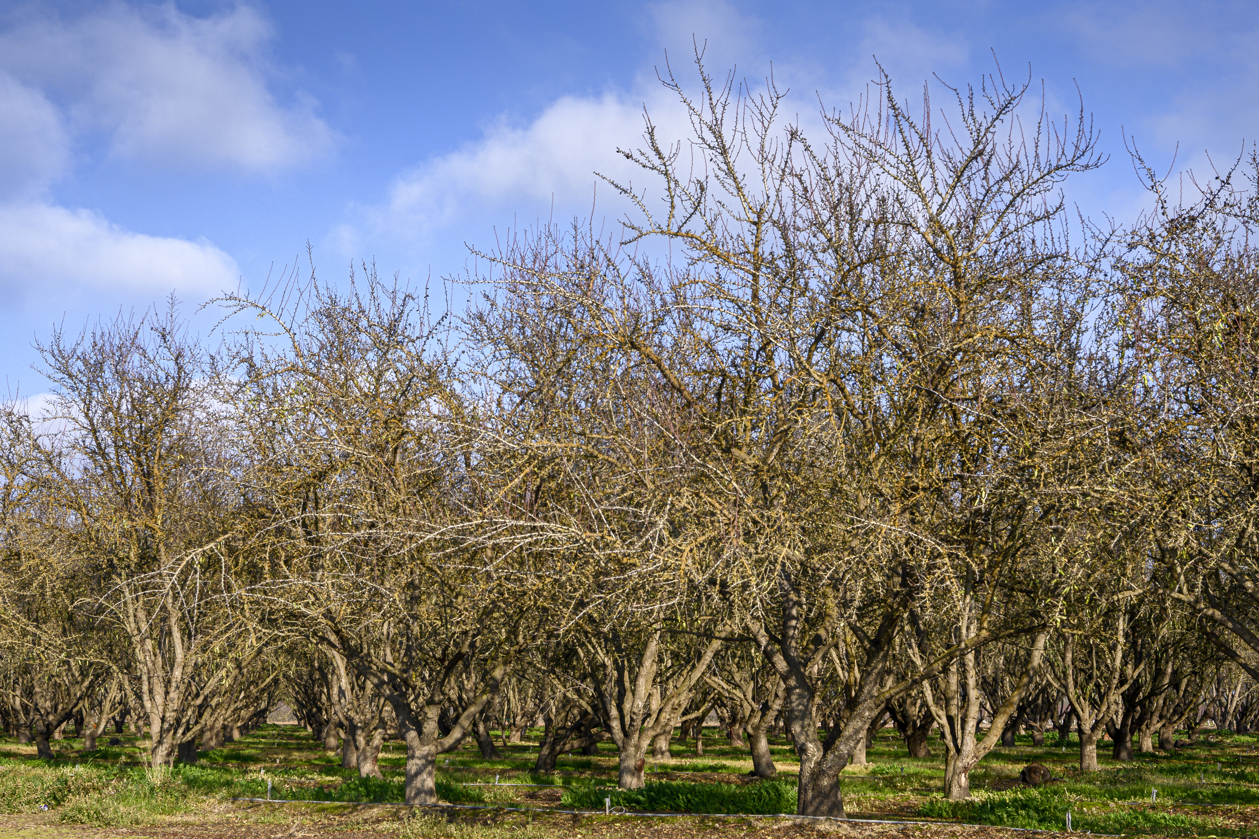
Responding quickly to disease and pest pressures now is key to protecting yields. Aerial data can help you identify trouble spots early, assess canopy health—not just density—and fine-tune your irrigation program to achieve optimal timing for harvest.
.jpg)
Post-harvest
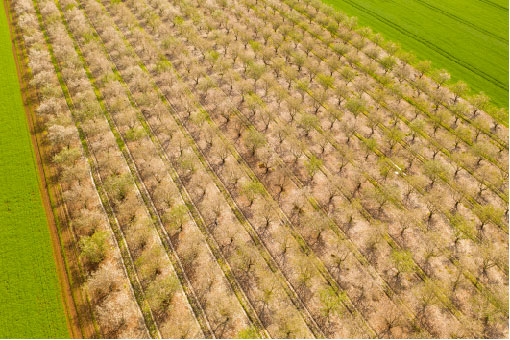
Don’t waste time clicker-counting and flagging trees for replacement. Ceres Imaging's tree count tool automatically generates inventories by variety and pinpoints trees for replacement. It's faster, cheaper, and more accurate than a manual approach.

.jpg?width=740&height=534&name=iStock-636670010%20(1).jpg)
-3.jpg?width=714&height=544&name=iStock-636670010%20(4)-3.jpg)
